About WetlandSense
Where WetlandSense data is available today, where it is headed next, and the organizations and datasets that make it possible.
Data Processing Status
WetlandSense is processed one ecoregion at a time. Each ecoregion is modeled, reviewed, and published as a unit, so coverage within a state grows region by region.
Virginia
1 of 7 ecoregions available
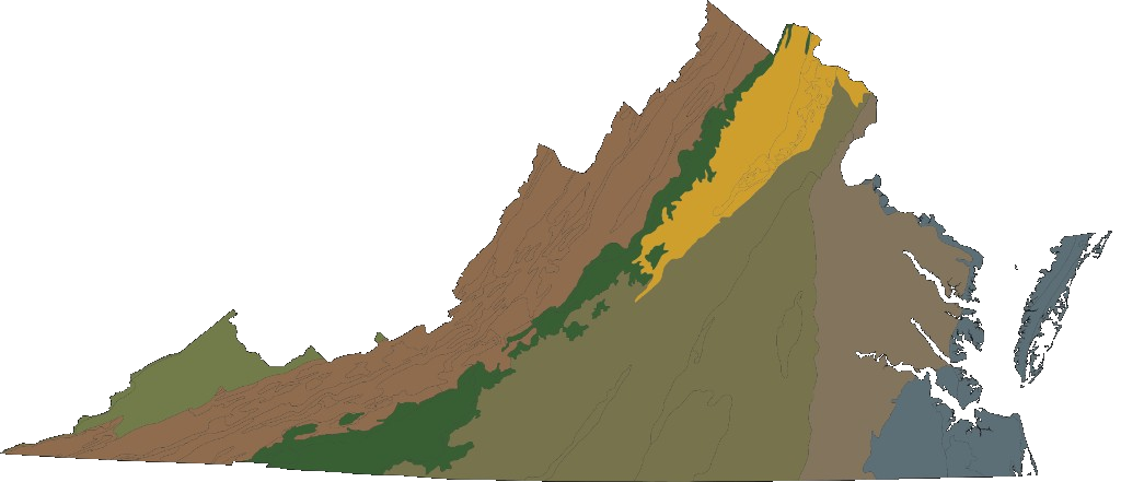
Virginia’s Level III ecoregions (U.S. EPA). The Northern Piedmont, highlighted, is the first region available on the map. Available1
- Northern PiedmontUpdated September 2026
In progress1
- Piedmont
Planned5
- Middle Atlantic Coastal Plain
- Southeastern Plains
- Blue Ridge
- Ridge and Valley
- Central Appalachians
Want to know when a new region is published?
Get coverage updates